Former school in Machynlleth
Introduction
The photograph on this page of Former school in Machynlleth by Jaggery as part of the Geograph project.
The Geograph project started in 2005 with the aim of publishing, organising and preserving representative images for every square kilometre of Great Britain, Ireland and the Isle of Man.

There are currently over 7.5m images from over 14,400 individuals and you can help contribute to the project by visiting https://www.geograph.org.uk
Former school in Machynlleth
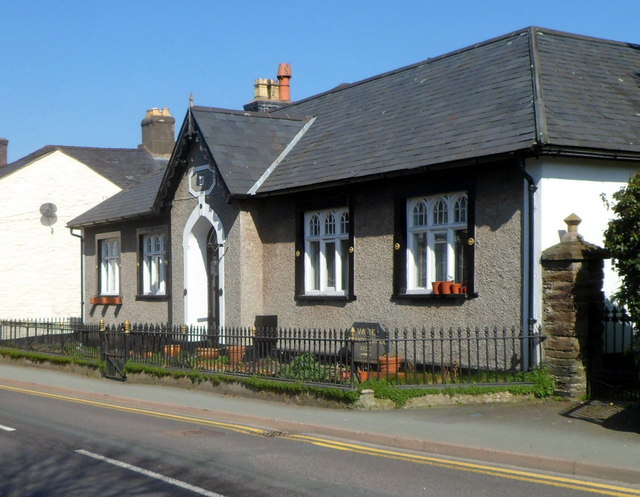
Image: © Jaggery Taken: 28 Mar 2012
Viewed across the A487 Heol y Doll. As a school it was named Ysgol Vane. It later became a small hospital. It is now named Llys Maldwyn.
Images are licensed for reuse under creativecommons.org/licenses/by-sa/2.0
Image Location
Latitude
52.592191
Longitude
-3.853074