Benchmark on house at Yafforth Hill
Introduction
The photograph on this page of Benchmark on house at Yafforth Hill by Roger Templeman as part of the Geograph project.
The Geograph project started in 2005 with the aim of publishing, organising and preserving representative images for every square kilometre of Great Britain, Ireland and the Isle of Man.

There are currently over 7.5m images from over 14,400 individuals and you can help contribute to the project by visiting https://www.geograph.org.uk
Benchmark on house at Yafforth Hill
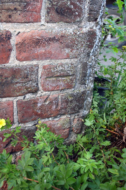
Image: © Roger Templeman Taken: 18 Aug 2013
Ordnance Survey cut mark described on the Bench Mark Database at http://www.bench-marks.org.uk/bm50820
Images are licensed for reuse under creativecommons.org/licenses/by-sa/2.0
Image Location
Latitude
54.35362
Longitude
-1.474228