Former Conservative Club, Church Street
Introduction
The photograph on this page of Former Conservative Club, Church Street by Alan Murray-Rust as part of the Geograph project.
The Geograph project started in 2005 with the aim of publishing, organising and preserving representative images for every square kilometre of Great Britain, Ireland and the Isle of Man.

There are currently over 7.5m images from over 14,400 individuals and you can help contribute to the project by visiting https://www.geograph.org.uk
Former Conservative Club, Church Street
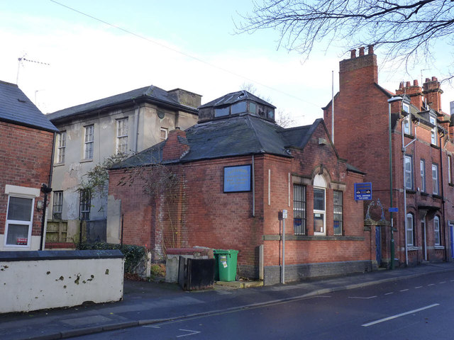
Image: © Alan Murray-Rust Taken: 22 Dec 2013
Although the sign at the far end is still looking fresh, the club has been closed for some time and the buildings showing signs of decay.
Images are licensed for reuse under creativecommons.org/licenses/by-sa/2.0
Image Location
Latitude
52.94885
Longitude
-1.175295