Beardmore Place
Introduction
The photograph on this page of Beardmore Place by Lairich Rig as part of the Geograph project.
The Geograph project started in 2005 with the aim of publishing, organising and preserving representative images for every square kilometre of Great Britain, Ireland and the Isle of Man.

There are currently over 7.5m images from over 14,400 individuals and you can help contribute to the project by visiting https://www.geograph.org.uk
Beardmore Place
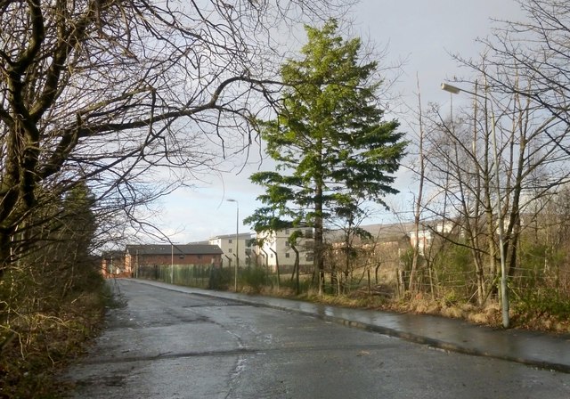
Image: © Lairich Rig Taken: 13 Dec 2013
In the background is an area of housing (built between 2007 and 2012) that is bounded by this road on one side, and by the Forth and Clyde Canal on the other.
Images are licensed for reuse under creativecommons.org/licenses/by-sa/2.0
Image Location
Latitude
55.908995
Longitude
-4.429538