Footbridge over the former St. Margaret's Spur
Introduction
The photograph on this page of Footbridge over the former St. Margaret's Spur by Ed of the South as part of the Geograph project.
The Geograph project started in 2005 with the aim of publishing, organising and preserving representative images for every square kilometre of Great Britain, Ireland and the Isle of Man.

There are currently over 7.5m images from over 14,400 individuals and you can help contribute to the project by visiting https://www.geograph.org.uk
Footbridge over the former St. Margaret's Spur
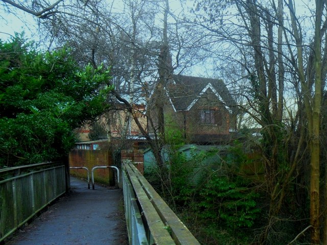
Image: © Ed of the South Taken: 22 Dec 2013
Heading from Green Hedges Avenue to Charlwoods Road via a footbridge that crosses over the former St. Margaret's Spur. The spur was a link between the now demolished East Grinstead High Level station to the current Low Level station.
Images are licensed for reuse under creativecommons.org/licenses/by-sa/2.0
Image Location
Latitude
51.130765
Longitude
-0.017708