The Square, Llanbadarn Fawr
Introduction
The photograph on this page of The Square, Llanbadarn Fawr by Ian Capper as part of the Geograph project.
The Geograph project started in 2005 with the aim of publishing, organising and preserving representative images for every square kilometre of Great Britain, Ireland and the Isle of Man.

There are currently over 7.5m images from over 14,400 individuals and you can help contribute to the project by visiting https://www.geograph.org.uk
The Square, Llanbadarn Fawr
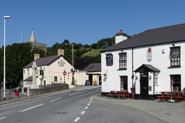
Image: © Ian Capper Taken: 25 Aug 2013
The two pubs of Llanbadarn Fawr, the Black Lion on the left and the Gogerddan Arms on the right, with the war memorial also on the left of the photo. In the left background is the tower of St Padarn's Church.
Images are licensed for reuse under creativecommons.org/licenses/by-sa/2.0
Image Location
Latitude
52.408366
Longitude
-4.059528