Heston from the air
Introduction
The photograph on this page of Heston from the air by Thomas Nugent as part of the Geograph project.
The Geograph project started in 2005 with the aim of publishing, organising and preserving representative images for every square kilometre of Great Britain, Ireland and the Isle of Man.

There are currently over 7.5m images from over 14,400 individuals and you can help contribute to the project by visiting https://www.geograph.org.uk
Heston from the air
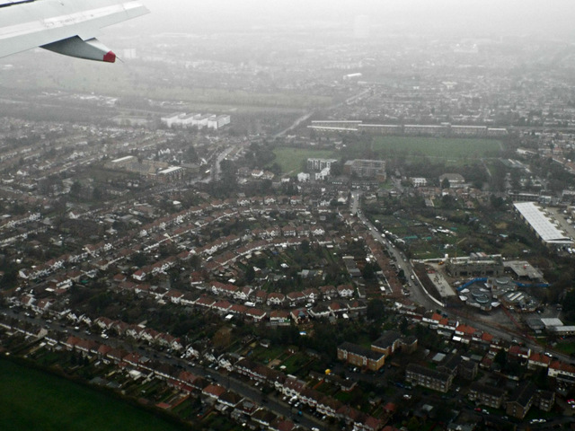
Image: © Thomas Nugent Taken: 21 Dec 2013
Just visible through the low mid-winter day cloud. Westbrook Primary School http://www.westbrookprimary.com/ is on the right.
Images are licensed for reuse under creativecommons.org/licenses/by-sa/2.0
Image Location
Latitude
51.481436
Longitude
-0.376845