Glan Honddu Close houses, Pandy
Introduction
The photograph on this page of Glan Honddu Close houses, Pandy by Jaggery as part of the Geograph project.
The Geograph project started in 2005 with the aim of publishing, organising and preserving representative images for every square kilometre of Great Britain, Ireland and the Isle of Man.

There are currently over 7.5m images from over 14,400 individuals and you can help contribute to the project by visiting https://www.geograph.org.uk
Glan Honddu Close houses, Pandy
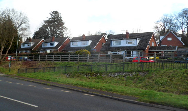
Image: © Jaggery Taken: 19 Feb 2012
Semi-detached houses set back from the east side of the A465.
Images are licensed for reuse under creativecommons.org/licenses/by-sa/2.0
Image Location
Latitude
51.895899
Longitude
-2.967096