Penparcau Road
Introduction
The photograph on this page of Penparcau Road by Ian Capper as part of the Geograph project.
The Geograph project started in 2005 with the aim of publishing, organising and preserving representative images for every square kilometre of Great Britain, Ireland and the Isle of Man.

There are currently over 7.5m images from over 14,400 individuals and you can help contribute to the project by visiting https://www.geograph.org.uk
Penparcau Road
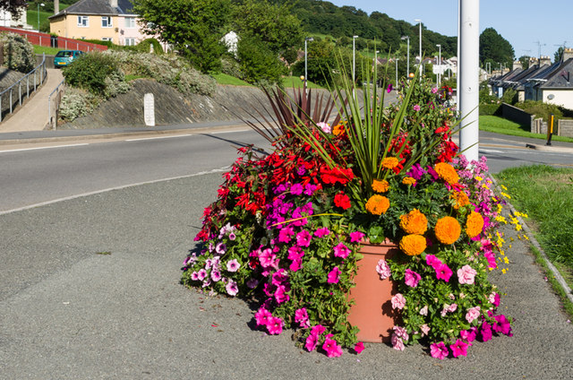
Image: © Ian Capper Taken: 25 Aug 2013
Floral display on Penparcau Road. On the other side of the road is the milestone in Image and Image, one of three similar stones situated a mile from Aberystwyth on each of the main roads into the town, all dating from the 19th century. See Image and Image for the sites of the other two, in Penglais Road and Quebec Road respectively. Above the milestone are houses in Maes Maelor, part of the post war(?) estate built on the lower slopes of Pendinas. On the right are houses in the section of Penparcau Road named First Avenue, for consistency with the other roads in the 1930s(?) estate below it, imaginatively called Second, Third, Fourth and Fifth Avenue.
Images are licensed for reuse under creativecommons.org/licenses/by-sa/2.0
Image Location
Latitude
52.402045
Longitude
-4.07389