Path onto Pendinas
Introduction
The photograph on this page of Path onto Pendinas by Ian Capper as part of the Geograph project.
The Geograph project started in 2005 with the aim of publishing, organising and preserving representative images for every square kilometre of Great Britain, Ireland and the Isle of Man.

There are currently over 7.5m images from over 14,400 individuals and you can help contribute to the project by visiting https://www.geograph.org.uk
Path onto Pendinas
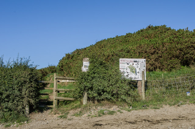
Image: © Ian Capper Taken: 25 Aug 2013
The start of the footpath up Pendinas from Parc Dinas. The board on the right describes the Local Nature Reserve of which Pendinas is a part.
Images are licensed for reuse under creativecommons.org/licenses/by-sa/2.0
Image Location
Latitude
52.399417
Longitude
-4.076589