Disused railway and cycle path in the Garw Valley
Introduction
The photograph on this page of Disused railway and cycle path in the Garw Valley by eswales as part of the Geograph project.
The Geograph project started in 2005 with the aim of publishing, organising and preserving representative images for every square kilometre of Great Britain, Ireland and the Isle of Man.

There are currently over 7.5m images from over 14,400 individuals and you can help contribute to the project by visiting https://www.geograph.org.uk
Disused railway and cycle path in the Garw Valley
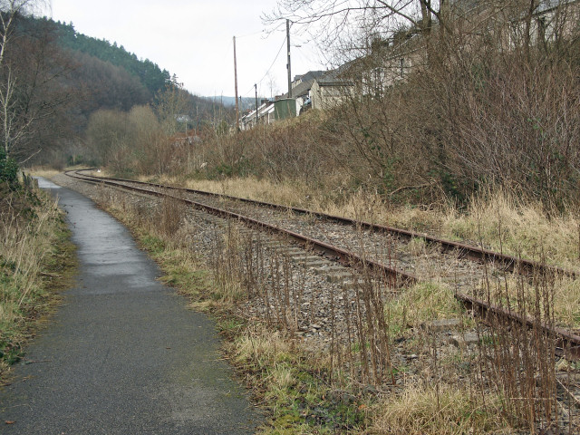
Image: © eswales Taken: Unknown
Seen at Pont-y-rhyl, a section of the Garw Valley Railway and, alongside it, a stretch of the Garw Valley Community Route, a path for cyclists and walkers which is classed as Route 884 of the National Cycle Network. The path runs up the valley beside the railway as far as Pontycymer, where the railway ends. It then continues northwards to Blaengarw at the head of the valley.
Images are licensed for reuse under creativecommons.org/licenses/by-sa/2.0
Image Location
Latitude
51.591278
Longitude
-3.57962