Turnpike Road
Introduction
The photograph on this page of Turnpike Road by Peter Jeffery as part of the Geograph project.
The Geograph project started in 2005 with the aim of publishing, organising and preserving representative images for every square kilometre of Great Britain, Ireland and the Isle of Man.

There are currently over 7.5m images from over 14,400 individuals and you can help contribute to the project by visiting https://www.geograph.org.uk
Turnpike Road
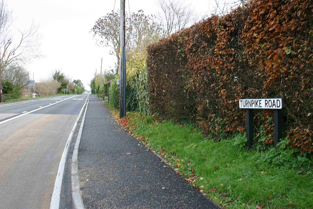
Image: © Peter Jeffery Taken: 1 Dec 2006
The B2139 between Amberley and Storrington follows the route of the Turnpike constructed in 1813.
Images are licensed for reuse under creativecommons.org/licenses/by-sa/2.0
Image Location
Latitude
50.906593
Longitude
-0.530902