Mid Hants Railway west of Alresford station
Introduction
The photograph on this page of Mid Hants Railway west of Alresford station by Robin Webster as part of the Geograph project.
The Geograph project started in 2005 with the aim of publishing, organising and preserving representative images for every square kilometre of Great Britain, Ireland and the Isle of Man.

There are currently over 7.5m images from over 14,400 individuals and you can help contribute to the project by visiting https://www.geograph.org.uk
Mid Hants Railway west of Alresford station
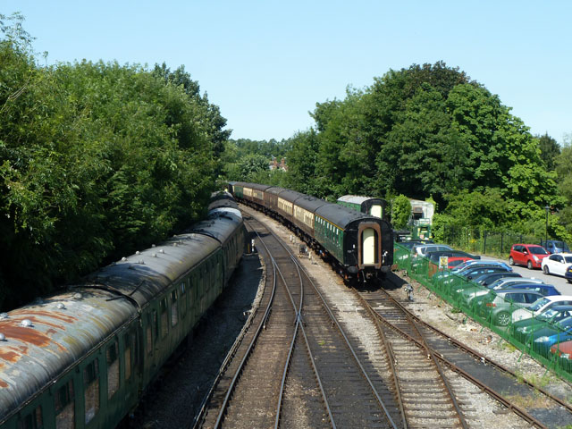
Image: © Robin Webster Taken: 9 Jul 2013
The line extends about 400 m west of the station and is used for running round and stabling stock. Any further extension west along the old trackbed towards Winchester seems unlikely as playing fields and some houses have been built over it.
Images are licensed for reuse under creativecommons.org/licenses/by-sa/2.0
Image Location
Latitude
51.088374
Longitude
-1.163972