New housing off Culduthel Mains Road
Introduction
The photograph on this page of New housing off Culduthel Mains Road by Richard Dorrell as part of the Geograph project.
The Geograph project started in 2005 with the aim of publishing, organising and preserving representative images for every square kilometre of Great Britain, Ireland and the Isle of Man.

There are currently over 7.5m images from over 14,400 individuals and you can help contribute to the project by visiting https://www.geograph.org.uk
New housing off Culduthel Mains Road
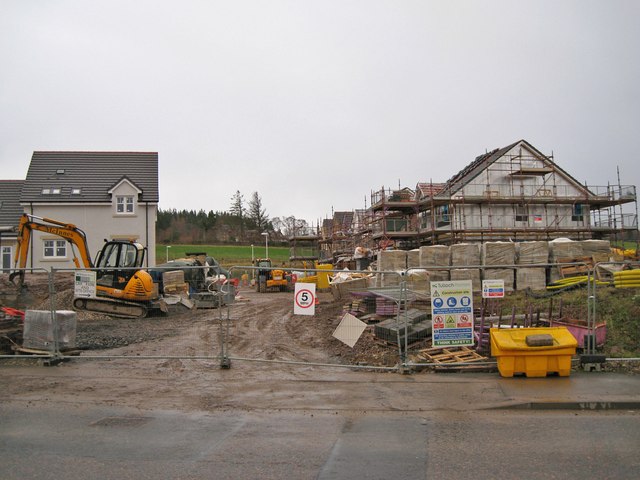
Image: © Richard Dorrell Taken: 15 Dec 2013
There is much housing development currently underway in this part of Inverness.
Images are licensed for reuse under creativecommons.org/licenses/by-sa/2.0
Image Location


Leaflet Map data © OpenStreetMap
Latitude
57.444138
Longitude
-4.225158