OS benchmark - Bridgnorth, Broseley Road
Introduction
The photograph on this page of OS benchmark - Bridgnorth, Broseley Road by Richard Law as part of the Geograph project.
The Geograph project started in 2005 with the aim of publishing, organising and preserving representative images for every square kilometre of Great Britain, Ireland and the Isle of Man.

There are currently over 7.5m images from over 14,400 individuals and you can help contribute to the project by visiting https://www.geograph.org.uk
OS benchmark - Bridgnorth, Broseley Road
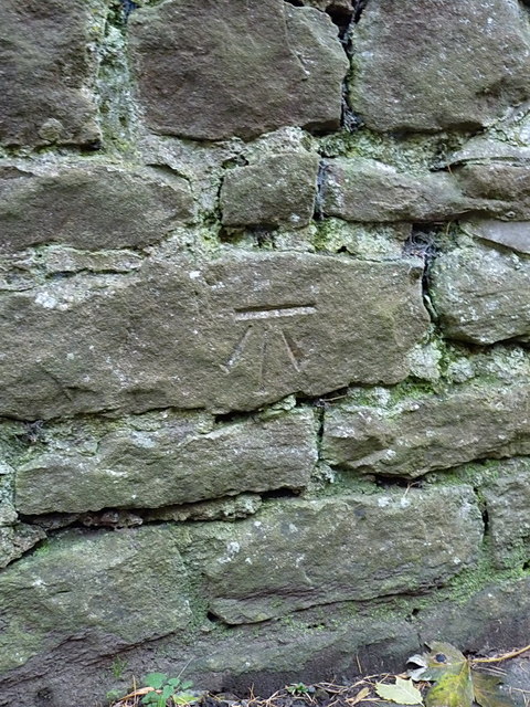
Image: © Richard Law Taken: 7 Dec 2013
OS cutmark in a stone wall on the outskirts of Bridgnorth, heading up the B4373 towards Cross Lane Head and Broseley; originally levelled at 49.618m above Ordnance Datum Newlyn.
Images are licensed for reuse under creativecommons.org/licenses/by-sa/2.0
Image Location
Latitude
52.540703
Longitude
-2.421338