Blackcurrant crop at Tillington Common
Introduction
The photograph on this page of Blackcurrant crop at Tillington Common by Jonathan Billinger as part of the Geograph project.
The Geograph project started in 2005 with the aim of publishing, organising and preserving representative images for every square kilometre of Great Britain, Ireland and the Isle of Man.

There are currently over 7.5m images from over 14,400 individuals and you can help contribute to the project by visiting https://www.geograph.org.uk
Blackcurrant crop at Tillington Common
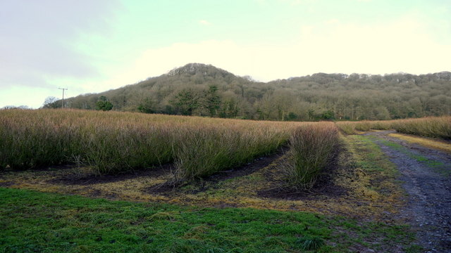
Image: © Jonathan Billinger Taken: 20 Dec 2013
The prominent hill is Round Oak Hill. Not a lot has changed since the first Geograph for this square taken in March 2006, Image
Images are licensed for reuse under creativecommons.org/licenses/by-sa/2.0
Image Location
Latitude
52.11195
Longitude
-2.79945