Roundabout on the A391
Introduction
The photograph on this page of Roundabout on the A391 by Tony Atkin as part of the Geograph project.
The Geograph project started in 2005 with the aim of publishing, organising and preserving representative images for every square kilometre of Great Britain, Ireland and the Isle of Man.

There are currently over 7.5m images from over 14,400 individuals and you can help contribute to the project by visiting https://www.geograph.org.uk
Roundabout on the A391
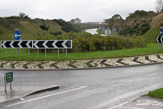
Image: © Tony Atkin Taken: 12 Nov 2005
This road runs around the north eastern edge of St Austell dividing town from countryside.
Images are licensed for reuse under creativecommons.org/licenses/by-sa/2.0
Image Location
Latitude
50.34774
Longitude
-4.755695