Site of the Princes Pier railway line
Introduction
The photograph on this page of Site of the Princes Pier railway line by Thomas Nugent as part of the Geograph project.
The Geograph project started in 2005 with the aim of publishing, organising and preserving representative images for every square kilometre of Great Britain, Ireland and the Isle of Man.

There are currently over 7.5m images from over 14,400 individuals and you can help contribute to the project by visiting https://www.geograph.org.uk
Site of the Princes Pier railway line
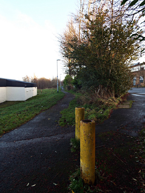
Image: © Thomas Nugent Taken: 13 Dec 2013
Between Boglestone Avenue and the industrial estate. Now National Cycle Network, Route 75.
Images are licensed for reuse under creativecommons.org/licenses/by-sa/2.0
Image Location
Latitude
55.927144
Longitude
-4.672734