Mayfield: site of former station, 2000
Introduction
The photograph on this page of Mayfield: site of former station, 2000 by Ben Brooksbank as part of the Geograph project.
The Geograph project started in 2005 with the aim of publishing, organising and preserving representative images for every square kilometre of Great Britain, Ireland and the Isle of Man.

There are currently over 7.5m images from over 14,400 individuals and you can help contribute to the project by visiting https://www.geograph.org.uk
Mayfield: site of former station, 2000
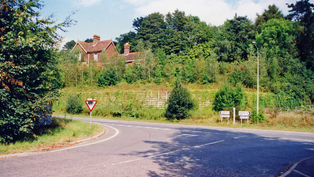
Image: © Ben Brooksbank Taken: 3 Sep 2000
View NE at junction of Fir Toll Road and A267 Mayfield by-pass, much of which was built on the formation of the railway: ex-LB%SCR (London) - Oxted - Eridge (to left) - (to right) Hailsham - Polegate - Eastbourne line. The station was closed 14/6/65 when the line was closed Eridge - Hailsham; Hailsham - Polegate was closed 9/9/68.
Images are licensed for reuse under creativecommons.org/licenses/by-sa/2.0
Image Location
Latitude
51.018286
Longitude
0.248971