Towards Penglais
Introduction
The photograph on this page of Towards Penglais by Ian Capper as part of the Geograph project.
The Geograph project started in 2005 with the aim of publishing, organising and preserving representative images for every square kilometre of Great Britain, Ireland and the Isle of Man.

There are currently over 7.5m images from over 14,400 individuals and you can help contribute to the project by visiting https://www.geograph.org.uk
Towards Penglais
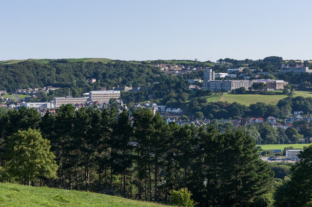
Image: © Ian Capper Taken: 25 Aug 2013
Looking towards Penglais from the slopes of Pendinas. On the left is Bronglais General Hospital and on the right is the National Library of Wales with the main campus of Aberystwyth University behind.
Images are licensed for reuse under creativecommons.org/licenses/by-sa/2.0
Image Location


Leaflet Map data © OpenStreetMap
Latitude
52.405694
Longitude
-4.078604