Cycle route 47 alongside a disused canal, Newport
Introduction
The photograph on this page of Cycle route 47 alongside a disused canal, Newport by Jaggery as part of the Geograph project.
The Geograph project started in 2005 with the aim of publishing, organising and preserving representative images for every square kilometre of Great Britain, Ireland and the Isle of Man.

There are currently over 7.5m images from over 14,400 individuals and you can help contribute to the project by visiting https://www.geograph.org.uk
Cycle route 47 alongside a disused canal, Newport
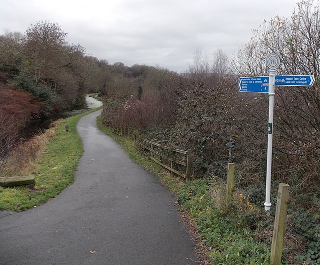
Image: © Jaggery Taken: 19 Dec 2013
Viewed from the corner of Barrack Hill. The towpath alongside the long disused Monmouthshire & Brecon Canal is now a footpath and also part of National Cycle Network route 47. Distances shown are 17 (miles) to Blaenavon via one branch of the canal and 7 to Crosskeys via the other branch. The two branches diverge at Malpas junction ahead.
Images are licensed for reuse under creativecommons.org/licenses/by-sa/2.0
Image Location
Latitude
51.59728
Longitude
-3.001019