View of the Pemberton Arms, Cold Heseldon
Introduction
The photograph on this page of View of the Pemberton Arms, Cold Heseldon by Robert Graham as part of the Geograph project.
The Geograph project started in 2005 with the aim of publishing, organising and preserving representative images for every square kilometre of Great Britain, Ireland and the Isle of Man.

There are currently over 7.5m images from over 14,400 individuals and you can help contribute to the project by visiting https://www.geograph.org.uk
View of the Pemberton Arms, Cold Heseldon
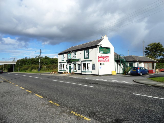
Image: © Robert Graham Taken: 9 Oct 2013
Looking north along the B1432, the road leading to Seaham. The pub would seem to be late Victorian, as it is shown on the 1901 Ordnance Survey map, but not the 1862 one.
Images are licensed for reuse under creativecommons.org/licenses/by-sa/2.0
Image Location
Latitude
54.812847
Longitude
-1.361076