Looking down Stoney Cut Bank
Introduction
The photograph on this page of Looking down Stoney Cut Bank by Robert Graham as part of the Geograph project.
The Geograph project started in 2005 with the aim of publishing, organising and preserving representative images for every square kilometre of Great Britain, Ireland and the Isle of Man.

There are currently over 7.5m images from over 14,400 individuals and you can help contribute to the project by visiting https://www.geograph.org.uk
Looking down Stoney Cut Bank
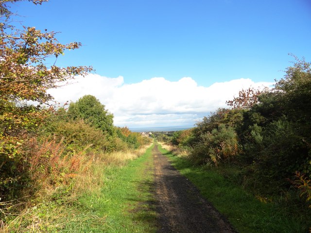
Image: © Robert Graham Taken: 9 Oct 2013
This former railway is located on the south side of Dawdon. It was formerly a colliery line carrying coal from Murton and South Hetton Collieries to Seaham Harbour, and was built in the first half of the 19th century. Viewed looking northeast with the sea visible on the horizon.
Images are licensed for reuse under creativecommons.org/licenses/by-sa/2.0
Image Location
Latitude
54.82096
Longitude
-1.348964