Loughborough University
Introduction
The photograph on this page of Loughborough University by Kate Jewell as part of the Geograph project.
The Geograph project started in 2005 with the aim of publishing, organising and preserving representative images for every square kilometre of Great Britain, Ireland and the Isle of Man.

There are currently over 7.5m images from over 14,400 individuals and you can help contribute to the project by visiting https://www.geograph.org.uk
Loughborough University
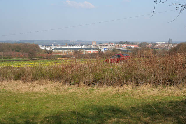
Image: © Kate Jewell Taken: 26 Mar 2007
The building in the foreground is the Gas Research Centre and those behind are the main University buildings. Image can just be seen in front of Holywell Wood to the left. The car is on Snell's Nook Lane in Image, the road that leads from Nanpantan to the A512.
Images are licensed for reuse under creativecommons.org/licenses/by-sa/2.0
Image Location


Leaflet Map data © OpenStreetMap
Latitude
52.75848
Longitude
-1.247502