Under Pitsea flyover (Revisited)
Introduction
The photograph on this page of Under Pitsea flyover (Revisited) by John Myers as part of the Geograph project.
The Geograph project started in 2005 with the aim of publishing, organising and preserving representative images for every square kilometre of Great Britain, Ireland and the Isle of Man.

There are currently over 7.5m images from over 14,400 individuals and you can help contribute to the project by visiting https://www.geograph.org.uk
Under Pitsea flyover (Revisited)
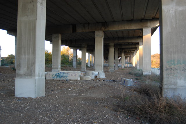
Image: © John Myers Taken: 19 Nov 2013
View eastwards towards the Pitsea roundabout. The c2c line to Fenchurch Street via Laindon running under the A13 and Tesco's car park are lost in the forest of pillars. Taken from the public footpath leading north from Vange Marsh.
Images are licensed for reuse under creativecommons.org/licenses/by-sa/2.0
Image Location
Latitude
51.561826
Longitude
0.502795