Bungalow between semis, Higher Brimley
Introduction
The photograph on this page of Bungalow between semis, Higher Brimley by Robin Stott as part of the Geograph project.
The Geograph project started in 2005 with the aim of publishing, organising and preserving representative images for every square kilometre of Great Britain, Ireland and the Isle of Man.

There are currently over 7.5m images from over 14,400 individuals and you can help contribute to the project by visiting https://www.geograph.org.uk
Bungalow between semis, Higher Brimley
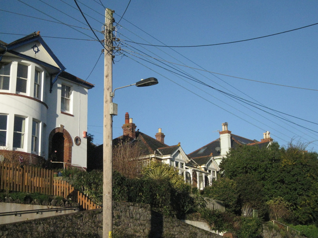
Image: © Robin Stott Taken: 10 Dec 2012
Two features of Teignmouth's older suburbs are seen here: the well-connected telephone poles that double as lighting columns; and the piecemeal nature of older residential development. In Higher Brimley there are detached, semi-detached and terraced houses in combinations of one, two and three storeys. Here, the bungalow (at a guess) pre-dates the semi-detached houses on either side. A third feature half-seen is the upslope-downslope relationship, described more fully at http://www.geograph.org.uk/p/3783556
Images are licensed for reuse under creativecommons.org/licenses/by-sa/2.0
Image Location
Latitude
50.551881
Longitude
-3.498313