Aberystwyth rooftops
Introduction
The photograph on this page of Aberystwyth rooftops by Ian Capper as part of the Geograph project.
The Geograph project started in 2005 with the aim of publishing, organising and preserving representative images for every square kilometre of Great Britain, Ireland and the Isle of Man.

There are currently over 7.5m images from over 14,400 individuals and you can help contribute to the project by visiting https://www.geograph.org.uk
Aberystwyth rooftops
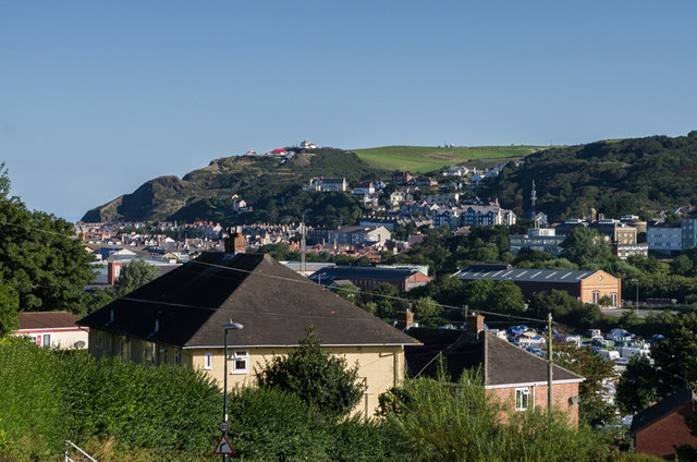
Image: © Ian Capper Taken: 25 Aug 2013
The rooftops of Aberystwyth, seen from Plas Helyg, off Penparcau Road. In the middle right of the photo is the new Vale of Rheidol Railway engine shed and in the far distance is Constitution Hill.
Images are licensed for reuse under creativecommons.org/licenses/by-sa/2.0
Image Location
Latitude
52.405728
Longitude
-4.077165