The road to Beechcombe Farm
Introduction
The photograph on this page of The road to Beechcombe Farm by David Smith as part of the Geograph project.
The Geograph project started in 2005 with the aim of publishing, organising and preserving representative images for every square kilometre of Great Britain, Ireland and the Isle of Man.

There are currently over 7.5m images from over 14,400 individuals and you can help contribute to the project by visiting https://www.geograph.org.uk
The road to Beechcombe Farm
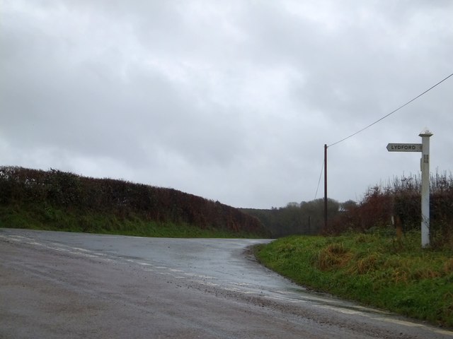
Image: © David Smith Taken: 16 Dec 2013
This road leads to the farm, and then follows a contour on the south side of the valley of the River Lew
Images are licensed for reuse under creativecommons.org/licenses/by-sa/2.0
Image Location
Latitude
50.661494
Longitude
-4.153525