Looking south-southwest along Middle Street
Introduction
The photograph on this page of Looking south-southwest along Middle Street by John Baker as part of the Geograph project.
The Geograph project started in 2005 with the aim of publishing, organising and preserving representative images for every square kilometre of Great Britain, Ireland and the Isle of Man.

There are currently over 7.5m images from over 14,400 individuals and you can help contribute to the project by visiting https://www.geograph.org.uk
Looking south-southwest along Middle Street
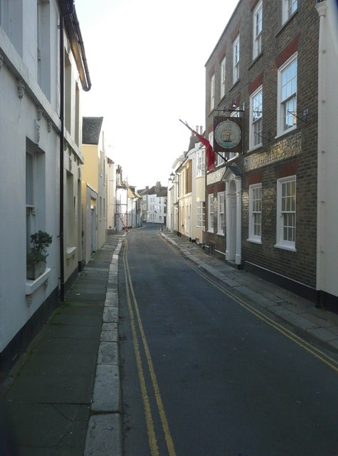
Image: © John Baker Taken: 10 Nov 2013
On the right is the sign for The Ship Inn at number 141. The earliest record of a public house on the site dates from 1764. Between 1857 and 1865 it was known as The Seagull http://www.dover-kent.com/Ship-Deal.html
Images are licensed for reuse under creativecommons.org/licenses/by-sa/2.0
Image Location
Latitude
51.227555
Longitude
1.403277