Below Higher Coombe Drive
Introduction
The photograph on this page of Below Higher Coombe Drive by Robin Stott as part of the Geograph project.
The Geograph project started in 2005 with the aim of publishing, organising and preserving representative images for every square kilometre of Great Britain, Ireland and the Isle of Man.

There are currently over 7.5m images from over 14,400 individuals and you can help contribute to the project by visiting https://www.geograph.org.uk
Below Higher Coombe Drive
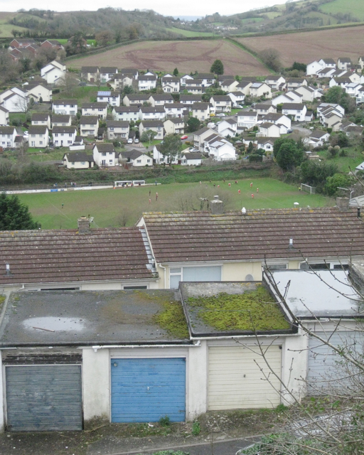
Image: © Robin Stott Taken: 9 Dec 2012
Beyond the rooftops of Deer Park Avenue is a match in progress on Teignmouth Football Club's ground off Coombe Park Road http://www.geograph.org.uk/photo/1317980 Across the Coombe valley is the Moor View Drive estate creeping up the hillside towards Headway Cross Image In the distance are the outskirts of Bishopsteignton and a glimpse of blue hills. For a wider view see http://www.geograph.org.uk/photo/1165497
Images are licensed for reuse under creativecommons.org/licenses/by-sa/2.0
Image Location
Latitude
50.555553
Longitude
-3.506476