Riby Road junction
Introduction
The photograph on this page of Riby Road junction by Jonathan Billinger as part of the Geograph project.
The Geograph project started in 2005 with the aim of publishing, organising and preserving representative images for every square kilometre of Great Britain, Ireland and the Isle of Man.

There are currently over 7.5m images from over 14,400 individuals and you can help contribute to the project by visiting https://www.geograph.org.uk
Riby Road junction
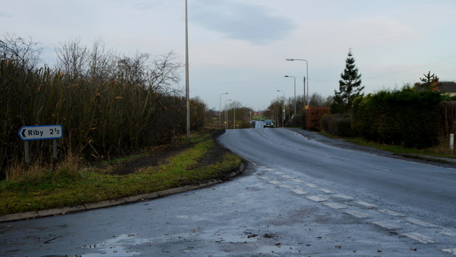
Image: © Jonathan Billinger Taken: 14 Dec 2013
Ahead is Healing Road, B1210 heading towards Stallingborough.
Images are licensed for reuse under creativecommons.org/licenses/by-sa/2.0
Image Location
Latitude
53.575887
Longitude
-0.173876