Bridleway and Footpath Junction, East Dean
Introduction
The photograph on this page of Bridleway and Footpath Junction, East Dean by Simon Carey as part of the Geograph project.
The Geograph project started in 2005 with the aim of publishing, organising and preserving representative images for every square kilometre of Great Britain, Ireland and the Isle of Man.

There are currently over 7.5m images from over 14,400 individuals and you can help contribute to the project by visiting https://www.geograph.org.uk
Bridleway and Footpath Junction, East Dean
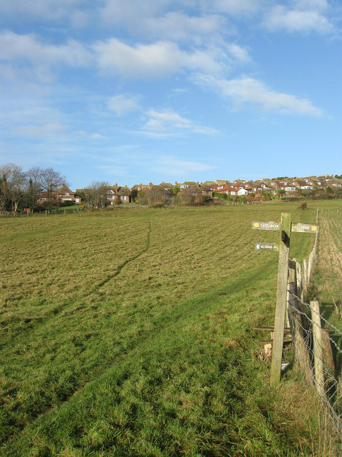
Image: © Simon Carey Taken: 14 Dec 2013
The bridleway from Downs View Lane to Summer Down is a permissive one and here crosses the east-west footpath that comes from Pea Down and heads into the village of East Dean. Another footpath heads north into Chapman's Bottom and heads towards Beachy Brow west of Eastbourne.
Images are licensed for reuse under creativecommons.org/licenses/by-sa/2.0
Image Location
Latitude
50.762948
Longitude
0.216284