The Cundy House
Introduction
The photograph on this page of The Cundy House by Graham Hogg as part of the Geograph project.
The Geograph project started in 2005 with the aim of publishing, organising and preserving representative images for every square kilometre of Great Britain, Ireland and the Isle of Man.

There are currently over 7.5m images from over 14,400 individuals and you can help contribute to the project by visiting https://www.geograph.org.uk
The Cundy House
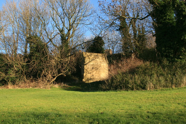
Image: © Graham Hogg Taken: 17 Dec 2013
An early 17th century building that was used to supply water to nearby Bolsover Castle. 'Cundy' is a corruption of the French word 'conduit', or water pipe. The building housed a water tank with a pipe leading to the castle.
Images are licensed for reuse under creativecommons.org/licenses/by-sa/2.0
Image Location
Latitude
53.233142
Longitude
-1.295389