Downstream of Marsh Lane Weir
Introduction
The photograph on this page of Downstream of Marsh Lane Weir by Des Blenkinsopp as part of the Geograph project.
The Geograph project started in 2005 with the aim of publishing, organising and preserving representative images for every square kilometre of Great Britain, Ireland and the Isle of Man.

There are currently over 7.5m images from over 14,400 individuals and you can help contribute to the project by visiting https://www.geograph.org.uk
Downstream of Marsh Lane Weir
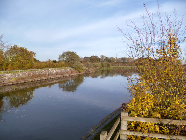
Image: © Des Blenkinsopp Taken: 15 Nov 2013
Just below the weir and still within very engineered banks, the Jubilee River looks every bit the artificial watercourse that it is.
Images are licensed for reuse under creativecommons.org/licenses/by-sa/2.0
Image Location
Latitude
51.514493
Longitude
-0.682641