A6116 north past Brigstock
Introduction
The photograph on this page of A6116 north past Brigstock by Tim Heaton as part of the Geograph project.
The Geograph project started in 2005 with the aim of publishing, organising and preserving representative images for every square kilometre of Great Britain, Ireland and the Isle of Man.

There are currently over 7.5m images from over 14,400 individuals and you can help contribute to the project by visiting https://www.geograph.org.uk
A6116 north past Brigstock
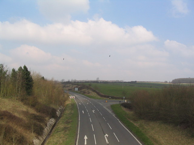
Image: © Tim Heaton Taken: 25 Mar 2007
Red Kites glide over the junction with Harley Way (minor road to right). Taken from the new pedestrian bridge linking Brigstock (left) to the Fermyn Woods Country Park (right).
Images are licensed for reuse under creativecommons.org/licenses/by-sa/2.0
Image Location


Leaflet Map data © OpenStreetMap
Latitude
52.45657
Longitude
-0.601727