Durham Road
Introduction
The photograph on this page of Durham Road by Richard Webb as part of the Geograph project.
The Geograph project started in 2005 with the aim of publishing, organising and preserving representative images for every square kilometre of Great Britain, Ireland and the Isle of Man.

There are currently over 7.5m images from over 14,400 individuals and you can help contribute to the project by visiting https://www.geograph.org.uk
Durham Road
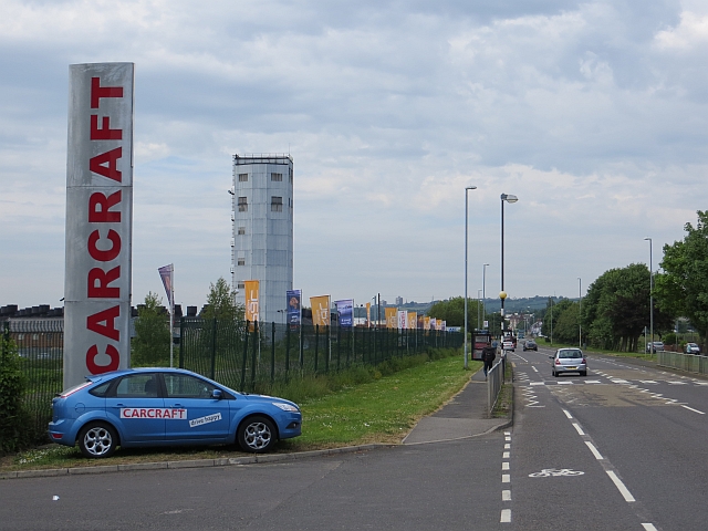
Image: © Richard Webb Taken: 18 Jun 2013
Now the A167, this was once the A1.
Images are licensed for reuse under creativecommons.org/licenses/by-sa/2.0
Image Location
Latitude
54.882355
Longitude
-1.576167