Whitehall Road alongside the railway line
Introduction
The photograph on this page of Whitehall Road alongside the railway line by Marathon as part of the Geograph project.
The Geograph project started in 2005 with the aim of publishing, organising and preserving representative images for every square kilometre of Great Britain, Ireland and the Isle of Man.

There are currently over 7.5m images from over 14,400 individuals and you can help contribute to the project by visiting https://www.geograph.org.uk
Whitehall Road alongside the railway line
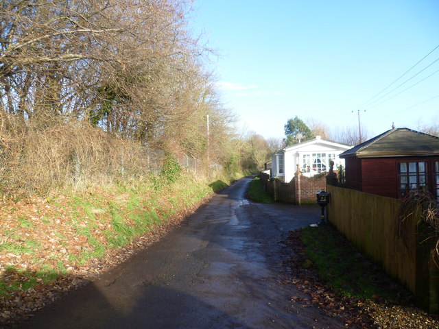
Image: © Marathon Taken: 14 Dec 2013
Whitehall Road is followed here by the Stour Valley Walk. The railway line on the left is between Chartham and Canterbury West which here follows Whitehall Road. The South Eastern Railway began its services from Ashford to what is now Canterbury West on 6th February 1846 and the line was extended to Ramsgate two months later.
Images are licensed for reuse under creativecommons.org/licenses/by-sa/2.0
Image Location
Latitude
51.276929
Longitude
1.065319