Hugh Perry Almshouses, Wotton-under-Edge
Introduction
The photograph on this page of Hugh Perry Almshouses, Wotton-under-Edge by Jaggery as part of the Geograph project.
The Geograph project started in 2005 with the aim of publishing, organising and preserving representative images for every square kilometre of Great Britain, Ireland and the Isle of Man.

There are currently over 7.5m images from over 14,400 individuals and you can help contribute to the project by visiting https://www.geograph.org.uk
Hugh Perry Almshouses, Wotton-under-Edge
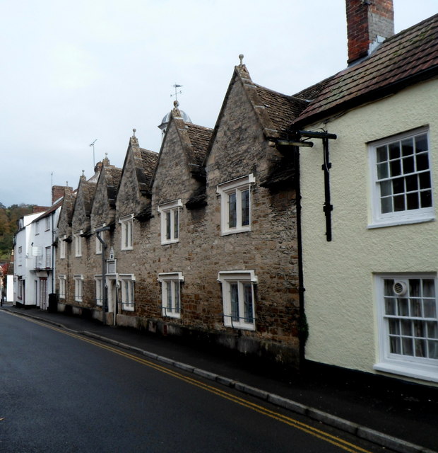
Image: © Jaggery Taken: 28 Oct 2012
Viewed across Church Street. An inscription http://www.geograph.org.uk/photo/3780273 above the entrance shows the year 1638.
Images are licensed for reuse under creativecommons.org/licenses/by-sa/2.0
Image Location
Latitude
51.637982
Longitude
-2.350072