View towards Marsh Meadow from the Cookham Moor causeway
Introduction
The photograph on this page of View towards Marsh Meadow from the Cookham Moor causeway by Stefan Czapski as part of the Geograph project.
The Geograph project started in 2005 with the aim of publishing, organising and preserving representative images for every square kilometre of Great Britain, Ireland and the Isle of Man.

There are currently over 7.5m images from over 14,400 individuals and you can help contribute to the project by visiting https://www.geograph.org.uk
View towards Marsh Meadow from the Cookham Moor causeway
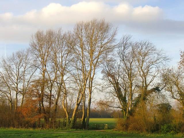
Image: © Stefan Czapski Taken: 9 Dec 2013
The Thames flood-plain to the west of Cookham village - seen in the rather feeble light of a December afternoon. Marsh Meadow is an extensive stretch of pasture land, owned by a local farm which at present grants public access.
Images are licensed for reuse under creativecommons.org/licenses/by-sa/2.0
Image Location
Latitude
51.560235
Longitude
-0.712624