Converted Church, Brentingby
Introduction
The photograph on this page of Converted Church, Brentingby by Chris Heaton as part of the Geograph project.
The Geograph project started in 2005 with the aim of publishing, organising and preserving representative images for every square kilometre of Great Britain, Ireland and the Isle of Man.

There are currently over 7.5m images from over 14,400 individuals and you can help contribute to the project by visiting https://www.geograph.org.uk
Converted Church, Brentingby
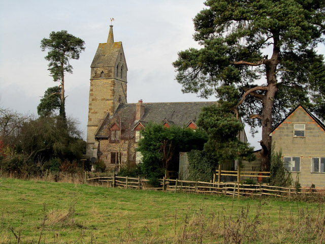
Image: © Chris Heaton Taken: 13 Dec 2013
Worshippers of Brentingby are now required to travel half a mile to the east to attend with the congregation at Wyfordby. This church has been converted into a house - including dormers inserted into the roof space.
Images are licensed for reuse under creativecommons.org/licenses/by-sa/2.0
Image Location
Latitude
52.761027
Longitude
-0.838743