Field boundary, Smithfield
Introduction
The photograph on this page of Field boundary, Smithfield by Karl and Ali as part of the Geograph project.
The Geograph project started in 2005 with the aim of publishing, organising and preserving representative images for every square kilometre of Great Britain, Ireland and the Isle of Man.

There are currently over 7.5m images from over 14,400 individuals and you can help contribute to the project by visiting https://www.geograph.org.uk
Field boundary, Smithfield
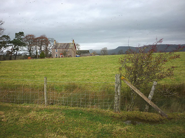
Image: © Karl and Ali Taken: 15 Dec 2013
The footpath from Blands Wath follows the edge of the pasture. Beyond the cottage of Smithfield are the North Pennines with Roman Fell prominent.
Images are licensed for reuse under creativecommons.org/licenses/by-sa/2.0
Image Location
Latitude
54.50409
Longitude
-2.373209