Waring House, Redcliffe Bristol
Introduction
The photograph on this page of Waring House, Redcliffe Bristol by Jaggery as part of the Geograph project.
The Geograph project started in 2005 with the aim of publishing, organising and preserving representative images for every square kilometre of Great Britain, Ireland and the Isle of Man.

There are currently over 7.5m images from over 14,400 individuals and you can help contribute to the project by visiting https://www.geograph.org.uk
Waring House, Redcliffe Bristol
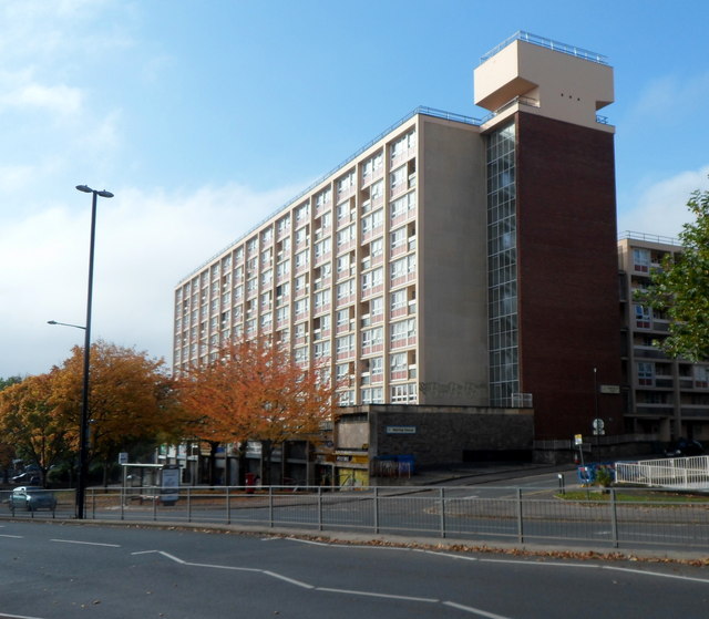
Image: © Jaggery Taken: 21 Oct 2012
Viewed across the A38 Redcliff Hill. Shops at street level, flats above.
Images are licensed for reuse under creativecommons.org/licenses/by-sa/2.0
Image Location
Latitude
51.446123
Longitude
-2.591781