Kellaston Close, Lower Ince
Introduction
The photograph on this page of Kellaston Close, Lower Ince by David Long as part of the Geograph project.
The Geograph project started in 2005 with the aim of publishing, organising and preserving representative images for every square kilometre of Great Britain, Ireland and the Isle of Man.

There are currently over 7.5m images from over 14,400 individuals and you can help contribute to the project by visiting https://www.geograph.org.uk
Kellaston Close, Lower Ince
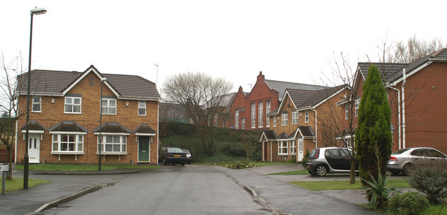
Image: © David Long Taken: 23 Feb 2007
The rear of Britannia Bridge Primary School is visible at the back. In the centre is a stone wall along the school yard perimeter - known as 'the blackie' because it was always black with soot from the steam engines in the sheds which once stood here.
Images are licensed for reuse under creativecommons.org/licenses/by-sa/2.0
Image Location
Latitude
53.538328
Longitude
-2.61981