Houses around Dane John Gardens
Introduction
The photograph on this page of Houses around Dane John Gardens by Marathon as part of the Geograph project.
The Geograph project started in 2005 with the aim of publishing, organising and preserving representative images for every square kilometre of Great Britain, Ireland and the Isle of Man.

There are currently over 7.5m images from over 14,400 individuals and you can help contribute to the project by visiting https://www.geograph.org.uk
Houses around Dane John Gardens
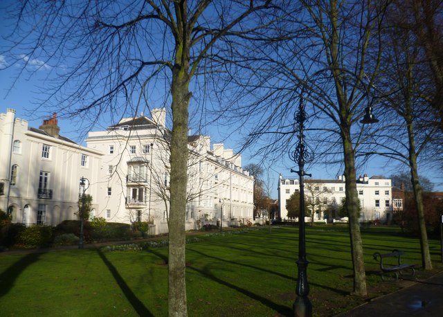
Image: © Marathon Taken: 14 Dec 2013
The open space now occupied by Dane John Gardens has been enjoyed by the citizens of Canterbury since at least the 12th century. They were laid out in their present form by Alderman Simmons in 1790. They were restored in 1999 with the assistance of the Heritage Lottery Fund. The Dane John Mound was once part of a motte-and-bailey castle dating from the 11th century.
Images are licensed for reuse under creativecommons.org/licenses/by-sa/2.0
Image Location
Latitude
51.27554
Longitude
1.077129