Track to Denhay Farms
Introduction
The photograph on this page of Track to Denhay Farms by Stephen Williams as part of the Geograph project.
The Geograph project started in 2005 with the aim of publishing, organising and preserving representative images for every square kilometre of Great Britain, Ireland and the Isle of Man.

There are currently over 7.5m images from over 14,400 individuals and you can help contribute to the project by visiting https://www.geograph.org.uk
Track to Denhay Farms
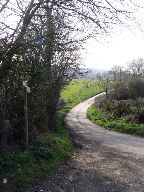
Image: © Stephen Williams Taken: 26 Mar 2007
This is the point where the "road, generally less than 4m wide" towards Denhay Farms veers right and becomes an "other road, drive or track". The signs indicate that it is also a public bridleway.
Images are licensed for reuse under creativecommons.org/licenses/by-sa/2.0
Image Location


Leaflet Map data © OpenStreetMap
Latitude
50.763588
Longitude
-2.806446