Towards the railway bridge
Introduction
The photograph on this page of Towards the railway bridge by Penny Mayes as part of the Geograph project.
The Geograph project started in 2005 with the aim of publishing, organising and preserving representative images for every square kilometre of Great Britain, Ireland and the Isle of Man.

There are currently over 7.5m images from over 14,400 individuals and you can help contribute to the project by visiting https://www.geograph.org.uk
Towards the railway bridge
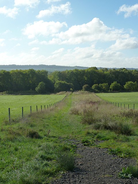
Image: © Penny Mayes Taken: 11 Oct 2013
From the footpath from Noremarsh, Wootton Bassett to Marlborough Road. See the bridge itself here http://www.geograph.org.uk/photo/3779339. It seems curious that this footpath has been given such a broad swathe through the grazing land on Brynard's Hill.
Images are licensed for reuse under creativecommons.org/licenses/by-sa/2.0
Image Location
Latitude
51.534517
Longitude
-1.89341