Farmer Jolly's
Introduction
The photograph on this page of Farmer Jolly's by philandju as part of the Geograph project.
The Geograph project started in 2005 with the aim of publishing, organising and preserving representative images for every square kilometre of Great Britain, Ireland and the Isle of Man.

There are currently over 7.5m images from over 14,400 individuals and you can help contribute to the project by visiting https://www.geograph.org.uk
Farmer Jolly's
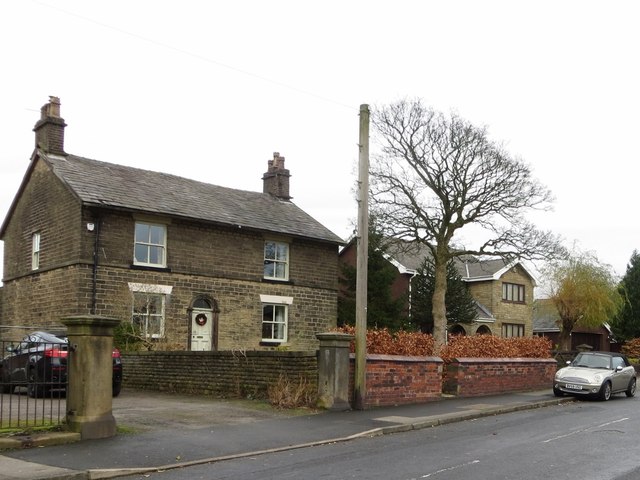
Image: © philandju Taken: 15 Dec 2013
Bank Top farm, run by Farmer Jolly in the 1950s, is long gone, but the stone farmhouse remains.
Images are licensed for reuse under creativecommons.org/licenses/by-sa/2.0
Image Location
Latitude
53.605617
Longitude
-2.421305