Terrace of houses in Ark Lane
Introduction
The photograph on this page of Terrace of houses in Ark Lane by John Baker as part of the Geograph project.
The Geograph project started in 2005 with the aim of publishing, organising and preserving representative images for every square kilometre of Great Britain, Ireland and the Isle of Man.

There are currently over 7.5m images from over 14,400 individuals and you can help contribute to the project by visiting https://www.geograph.org.uk
Terrace of houses in Ark Lane
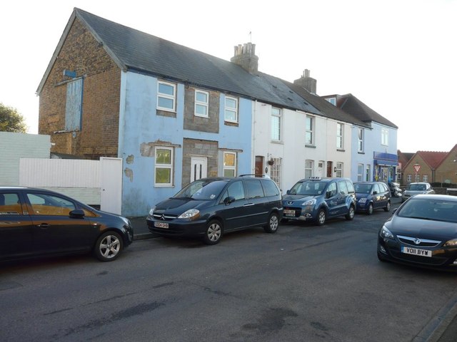
Image: © John Baker Taken: 10 Nov 2013
Planning permission has been granted by Dover District Council under application number DOV/11/00430 for the “change of use and conversion to a single residential dwelling”. The permission relates to number 35, which is the house at this end of the terrace. Previously, it was a carpet and blind centre. This shows the Image after work on number 35 had been completed.
Images are licensed for reuse under creativecommons.org/licenses/by-sa/2.0
Image Location
Latitude
51.229177
Longitude
1.400102