Britford, kissing gate
Introduction
The photograph on this page of Britford, kissing gate by Mike Faherty as part of the Geograph project.
The Geograph project started in 2005 with the aim of publishing, organising and preserving representative images for every square kilometre of Great Britain, Ireland and the Isle of Man.

There are currently over 7.5m images from over 14,400 individuals and you can help contribute to the project by visiting https://www.geograph.org.uk
Britford, kissing gate
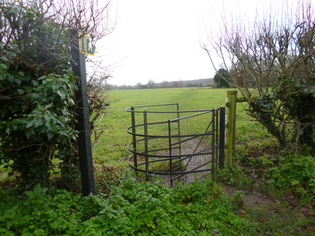
Image: © Mike Faherty Taken: 14 Dec 2013
At the northern end of the footpath from Church Lane towards Lower Farm.
Images are licensed for reuse under creativecommons.org/licenses/by-sa/2.0
Image Location


Leaflet Map data © OpenStreetMap
Latitude
51.054897
Longitude
-1.769955