Britwell Salome: The village pond
Introduction
The photograph on this page of Britwell Salome: The village pond by Nigel Cox as part of the Geograph project.
The Geograph project started in 2005 with the aim of publishing, organising and preserving representative images for every square kilometre of Great Britain, Ireland and the Isle of Man.

There are currently over 7.5m images from over 14,400 individuals and you can help contribute to the project by visiting https://www.geograph.org.uk
Britwell Salome: The village pond
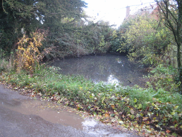
Image: © Nigel Cox Taken: 8 Dec 2013
Old Ordnance Survey maps show that its shape and size have waxed and waned through the years, and it is probably smaller now than it has been at most times in the past.
Images are licensed for reuse under creativecommons.org/licenses/by-sa/2.0
Image Location
Latitude
51.632351
Longitude
-1.031056